

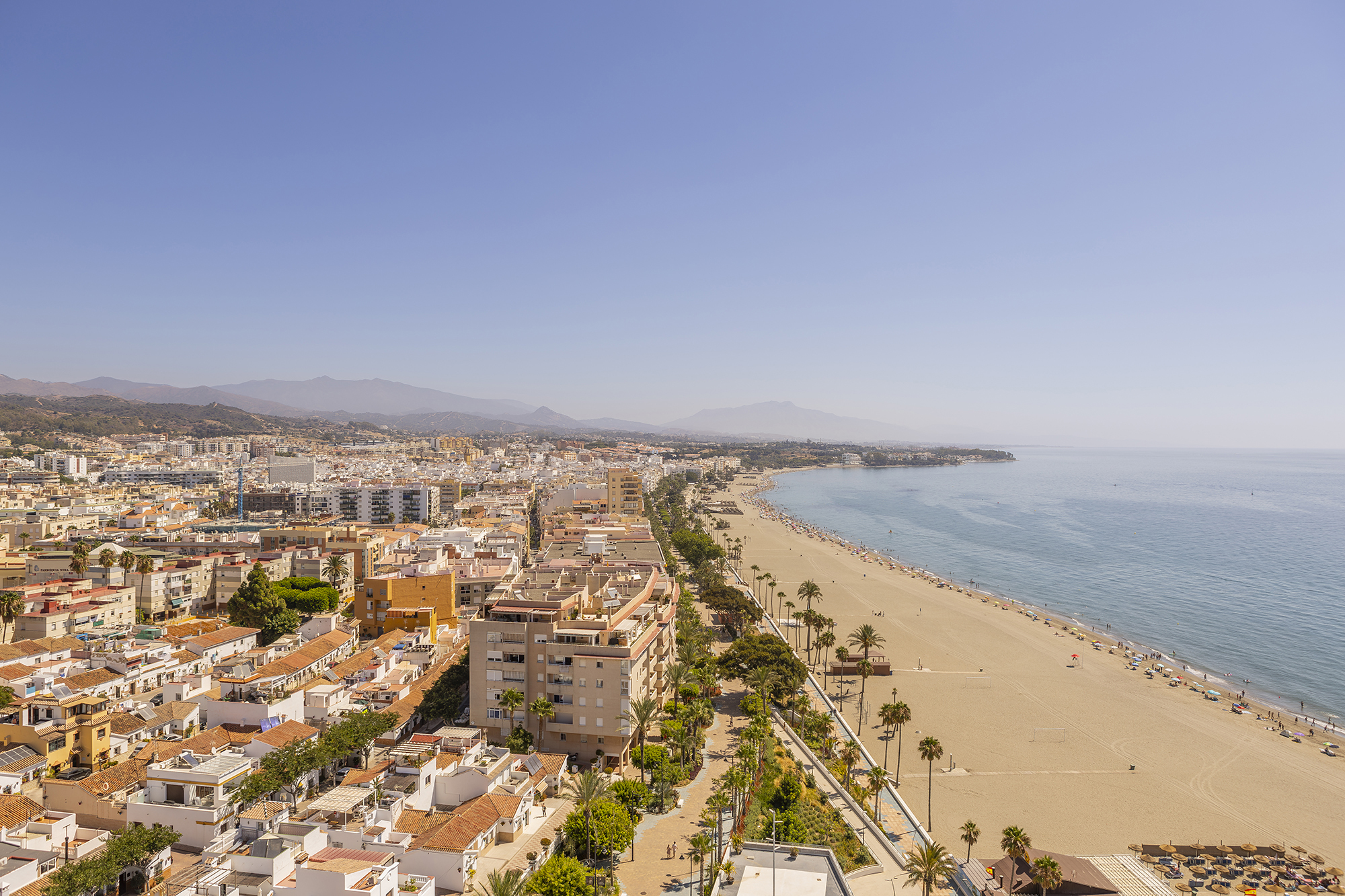
Estepona coastline
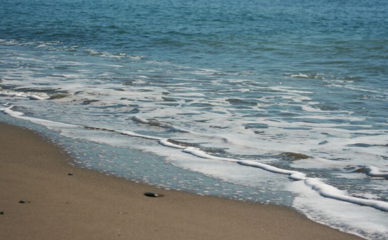
Eleven kilometres of Mediterranean coastline.
More than 20 beaches along the coastline. A wilder, quieter western zone, a central zone with the promenade and the museums, an eastern zone for those who already know Estepona. Use the map to get your bearings and choose the one that fits your plans.
18 beaches
Playa de La Galera
The first stretch of sand in the municipality, coming from the west.
Playa de Bahía Dorada
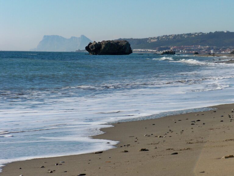
A natural cove with water somewhat more sheltered from the easterly wind.
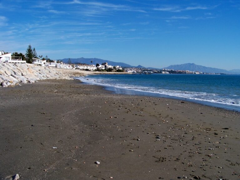
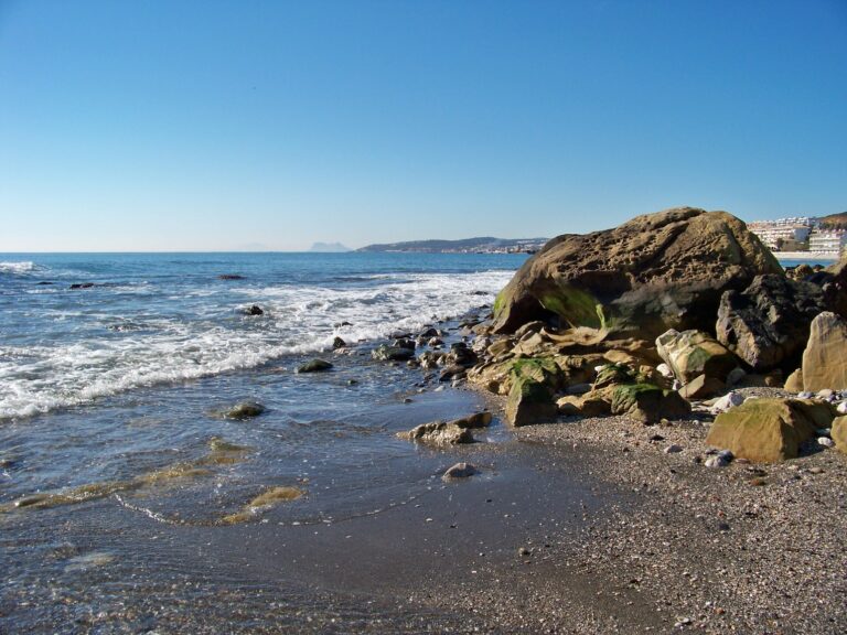
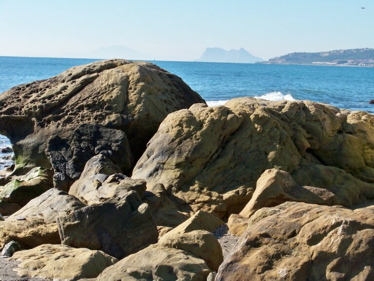
Playa de Arroyo Vaquero
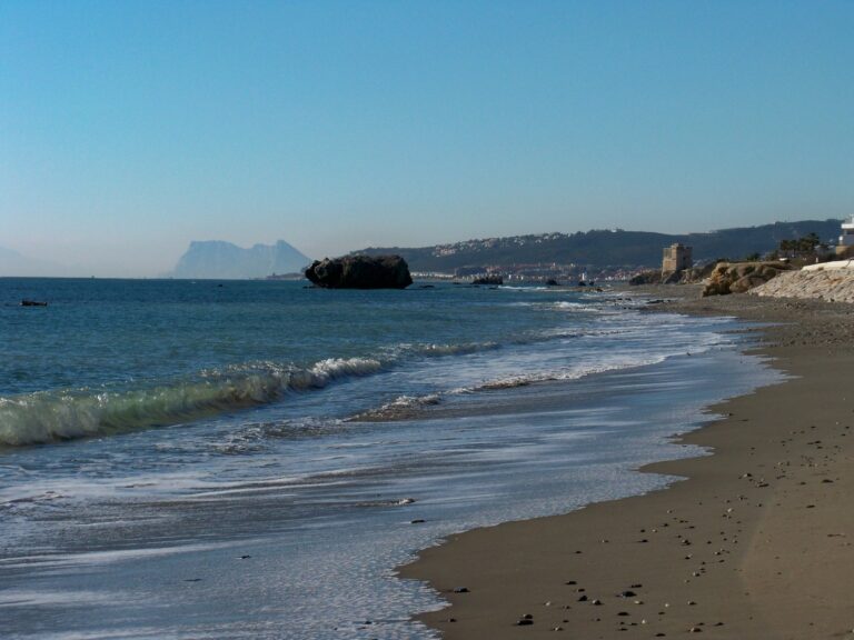
Next to the stream. At the foot of the 16th-century watchtower.
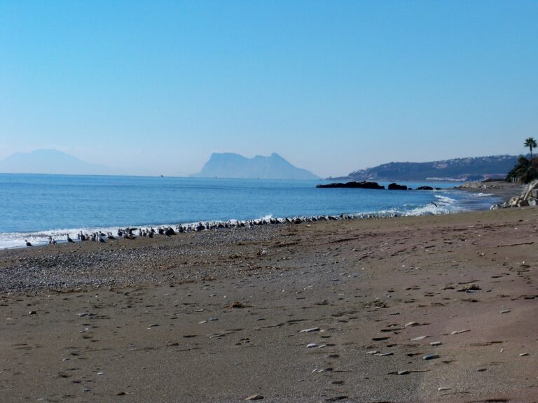
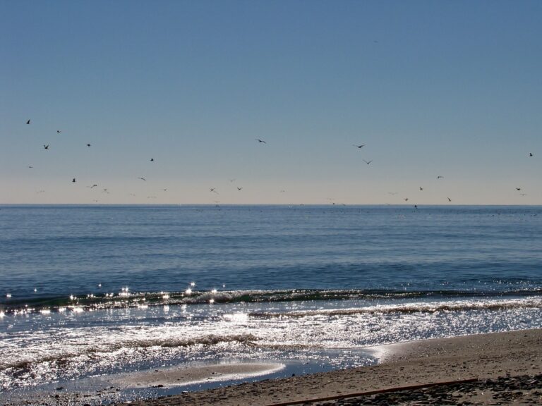
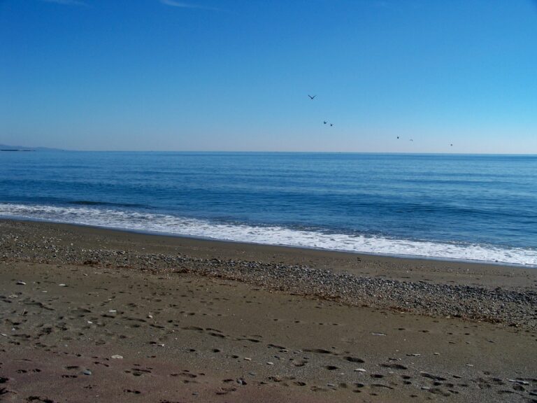
Playa de Costa Natura
Estepona's only official naturist beach.
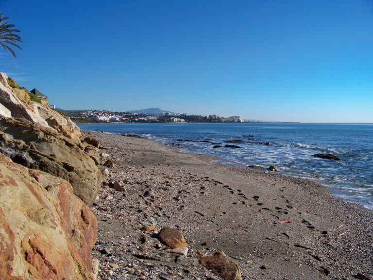
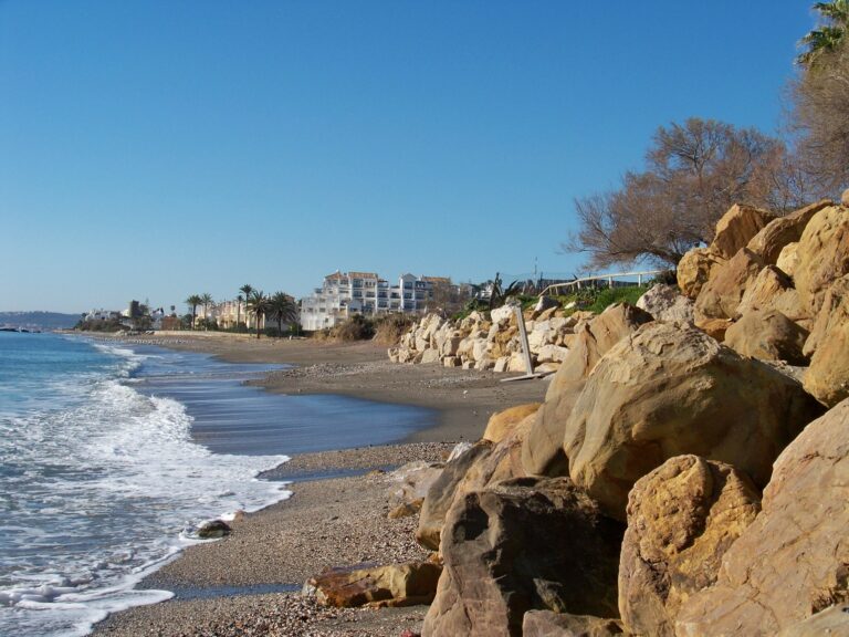
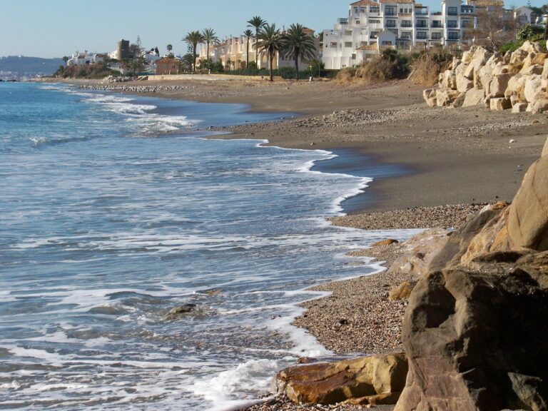
Playa de Guadalobón
On the border with Manilva. Sierra Bermeja as a backdrop.
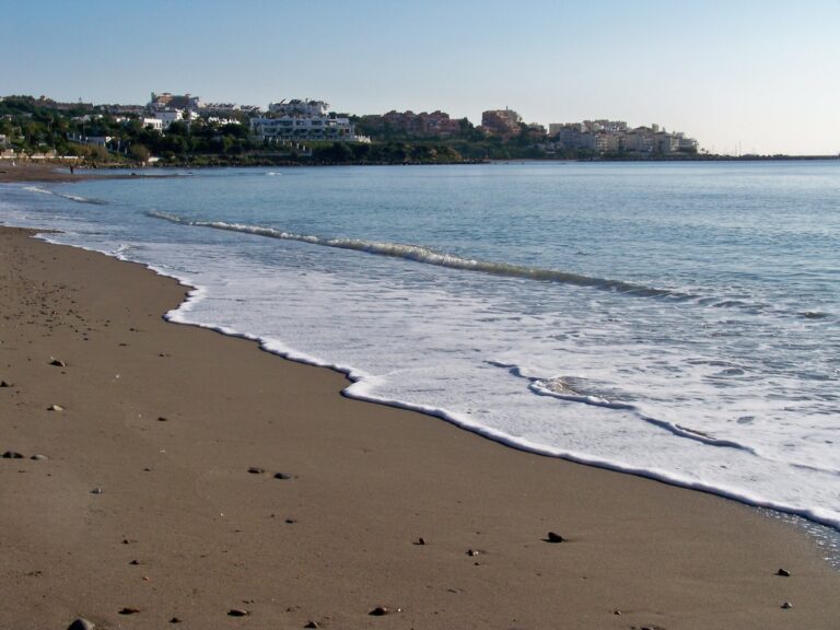
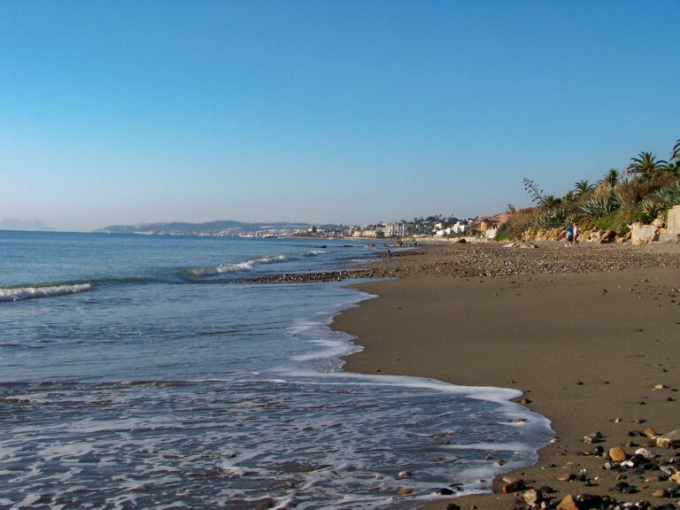
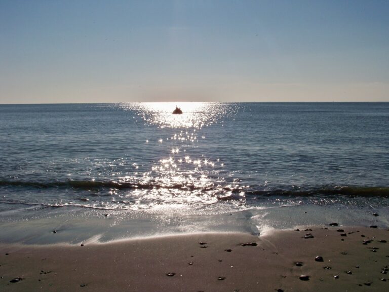
Playa del Cristo
Blue Flag. The one Estepona locals choose.
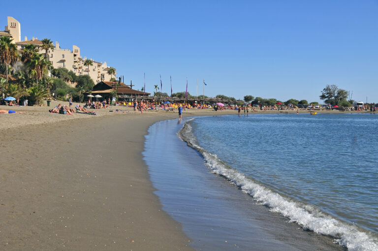
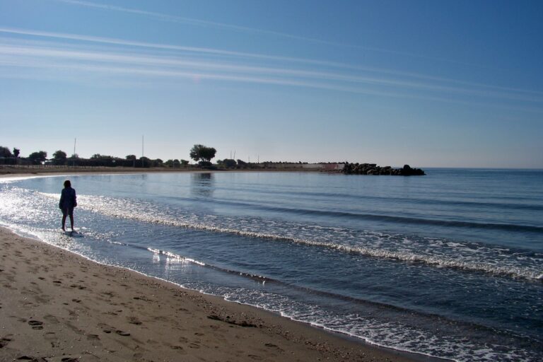
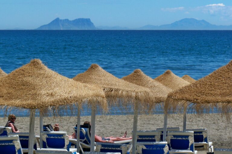
Playa de La Rada
The tourist landmark. 1.8 km flanked by the promenade.
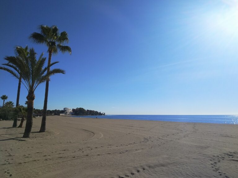
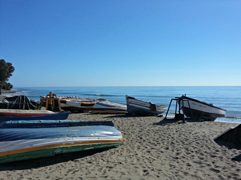
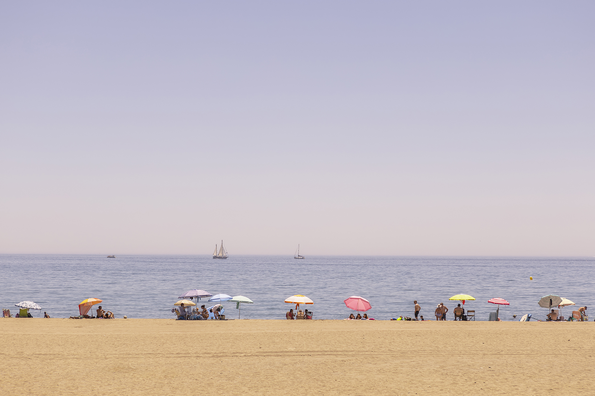
Playa del Ángel
The one chosen by those who already know Estepona.
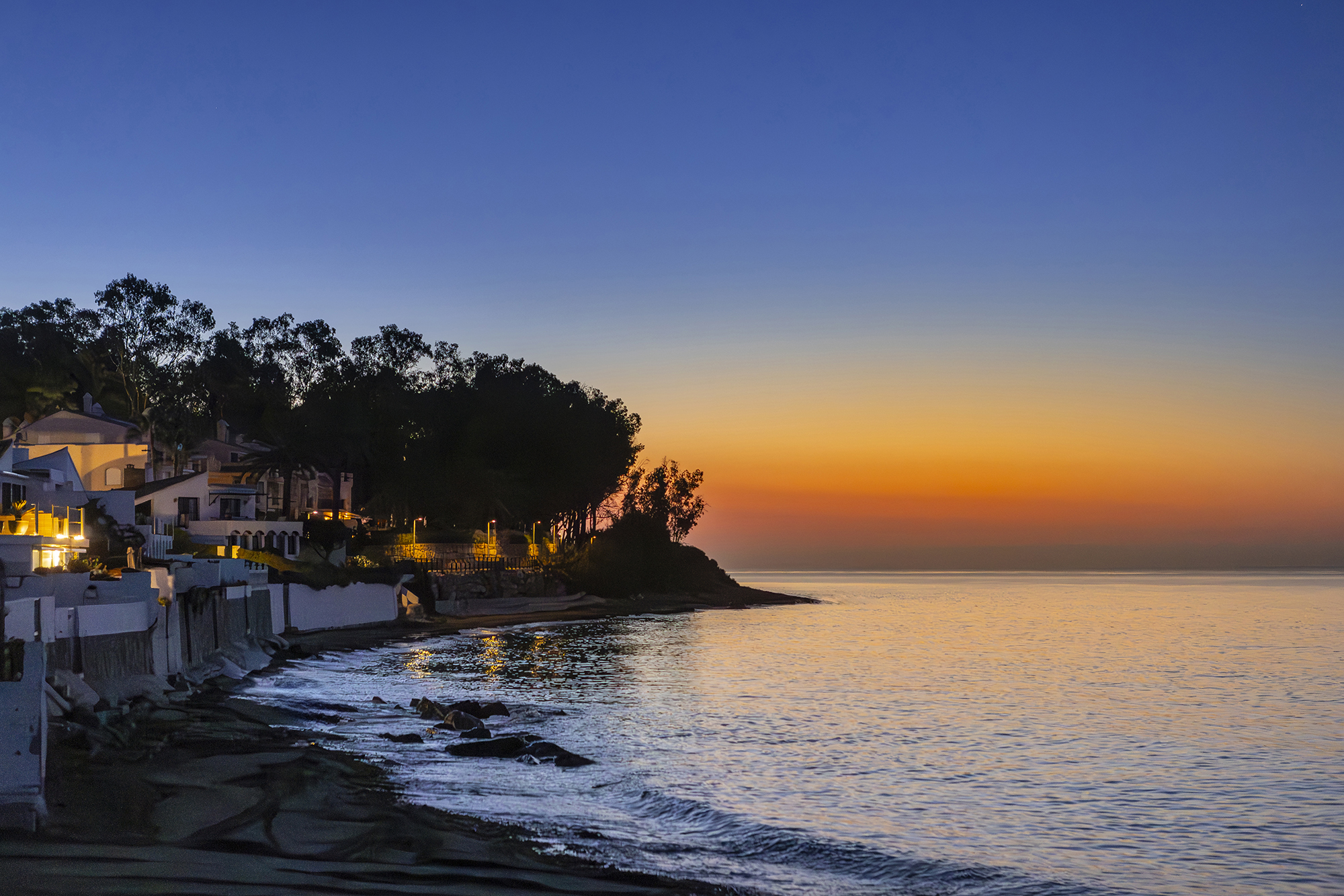
Playa de Punta de la Plata
The first stretch of the eastern coastline. The Senda Litoral passes through here.
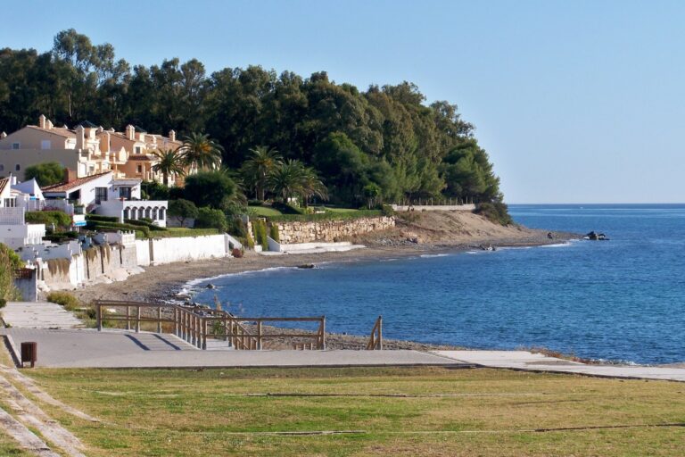
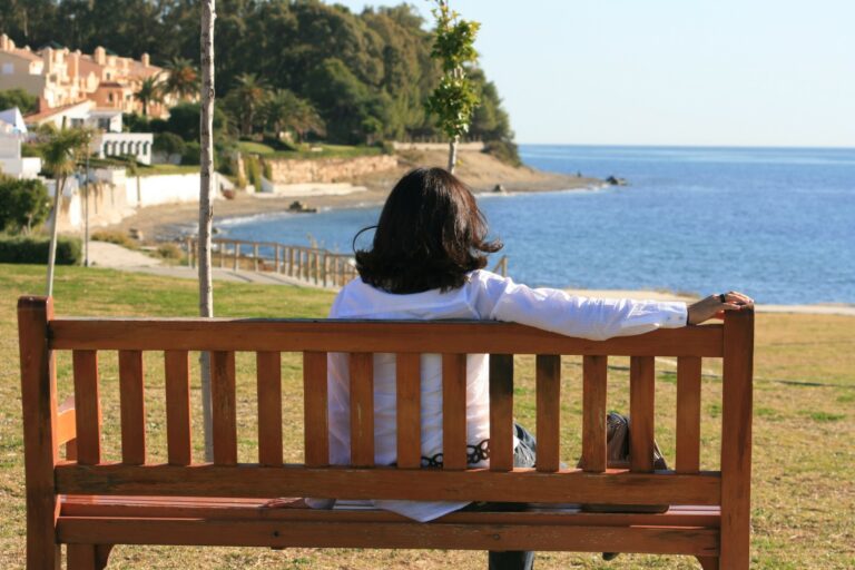
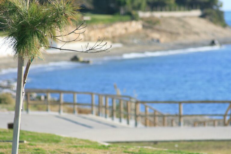
Playa de Punta Pinillos
On the edge of the pine forest. Few people even in August.
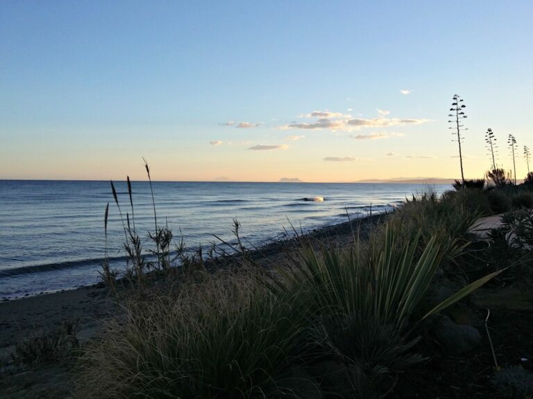
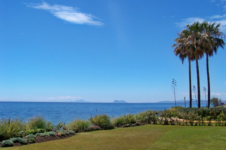
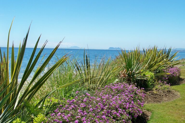
Playa de El Padrón
With the Torre del Padrón as a visual landmark.
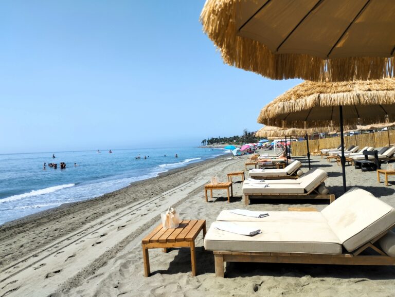
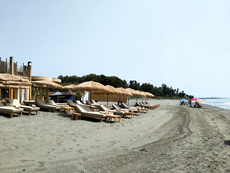
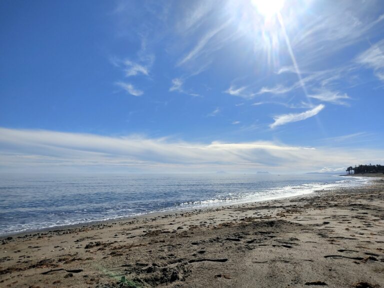
Playa del Castor
Sand and pebbles in front of the urbanisation.
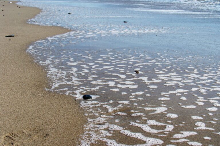
Playa de El Velerín
At the foot of the medieval tower. A local's beach.
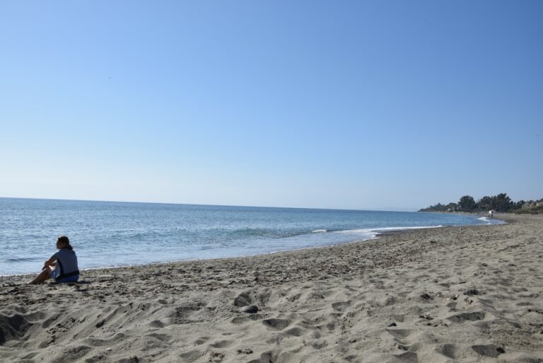
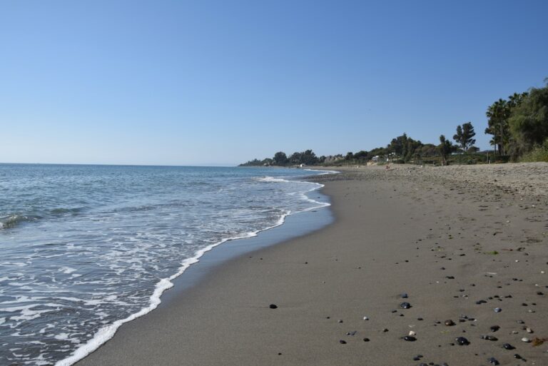
Playa Bella
The name doesn't lie. Finer sand than its neighbours.
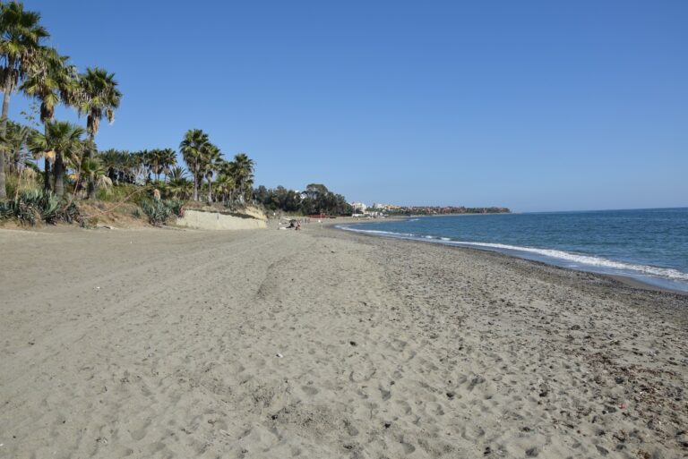
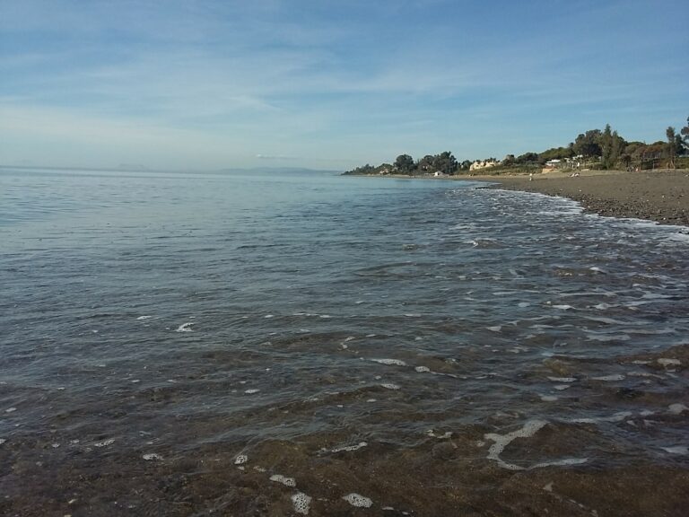
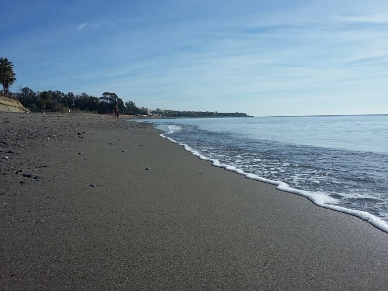
Playa de Guadalmansa
With the lopped watchtower as a backdrop.
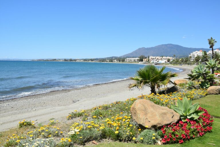
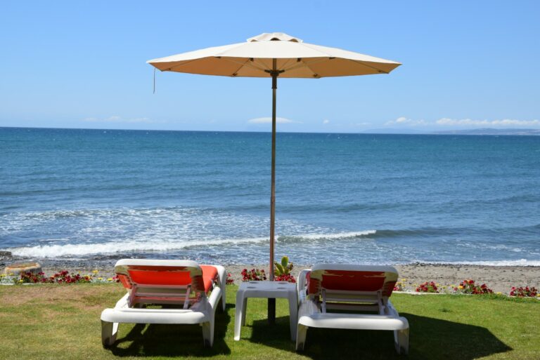
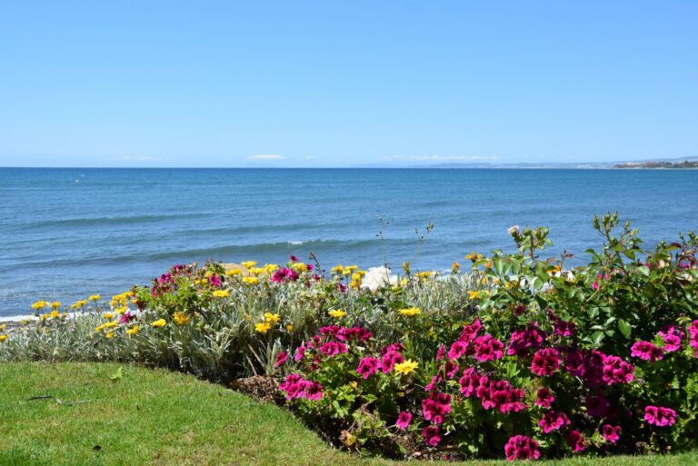
Playa de El Saladillo
One of the most unspoilt stretches of coastline.
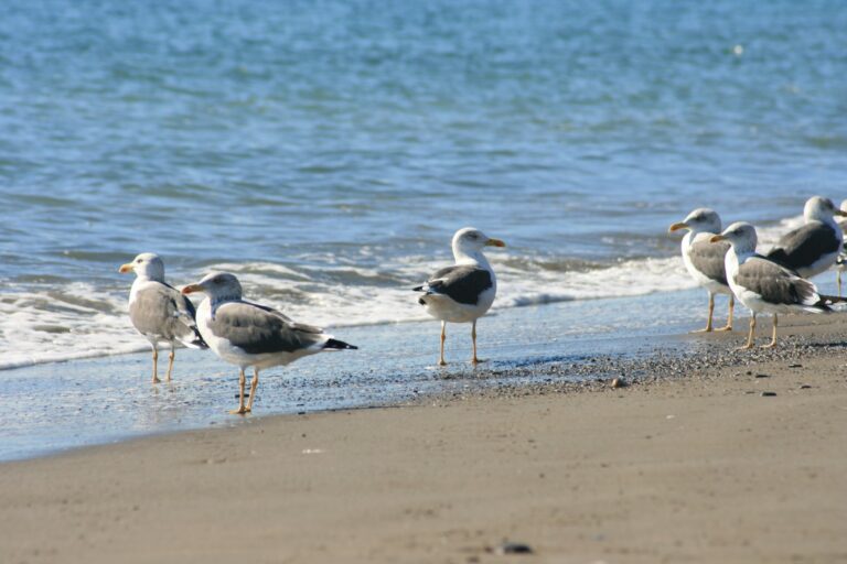
Playa de Casasola
Fine sand and direct access from the urbanisation.
Playa de Atalaya
The eastern edge of the municipality. Bordering Marbella.
Find your beach
Which beach suits you?
Understand the coast
Eleven kilometres from west to east
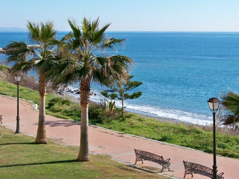
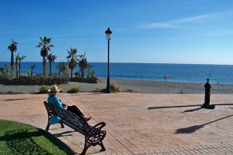
The thread connecting everything: the Pedro Manrique Seafront Promenade
A continuous promenade connecting the Sports Harbour with Playa del Ángel to the east. Can be walked in full, by bike or in sections. The best way to understand Estepona's coastline in one go. It bears the name of Pedro Manrique, a liberal from Estepona shot at 22 in 1831 alongside General Torrijos. Almost nobody walking it knows this.
Beyond the centre
Senda Litoral — over 14 km along the sea
The Senda Litoral connects the 18 beaches in the municipality from end to end: from La Galera in the far west to Atalaya on the Marbella border. Over 14 km of coastal path, no cars, with the Mediterranean always in view.
View all on the map →Getting there
- Urban bus line 1 — stop at Paseo Marítimo
- Free parking at the Sports Harbour (blue zone in season)
- From the old town: 8 minutes on foot to La Rada
- Playa del Cristo: 5 minutes from the Sports Harbour
When to go
- Swimming: May–October (water above 20 °C from June)
- Best time: before 11 am or after 6 pm in summer
- July and August: La Rada very busy — prefer Cristo or eastern coastline
- Out of season: promenade and beach bars at weekends
Facilities
- Blue Flag and lifeguard at Playa del Cristo
- Lifeguard also at La Rada in high season
- Showers and foot wash at Cristo and La Rada
- Sunbeds and parasols: private concession, not free
Plan your visit
Not sure where to start?
Choose your beaches, add a walk along the old town and finish with fresh fish at the port. Tell us your plans and we'll put it all together.